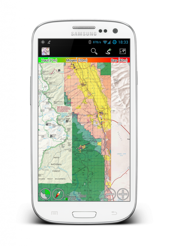
With the latest beta of MyTrails, add a map configuration by just clicking a specially-formatted link. Here’s a short list of maps to explore:
- SwissTopo (Switzerland)
SwissTopo(Switzerland)SwissTopo(Switzerland)SwissTopo(Switzerland)SwissTopo(Switzerland)- National Geographic World map (US and world for low zoom levels)
- Some amazing maps from CalTopo (US – most of these maps are not available everywhere even in the US; if the map doesn’t load, zoom out and try to move around)
- Contour and altitude shading (US); combine these with the above using layer maps or update the URL map to include both maps, separated by a
||(double pipe)- Shaded Relief
- 40′ Contours
- Fixed Slope Shading
- Gradient Slope Shading
- Example combined map: 7.5′ Topo Maps with Shaded relief (importing this map works in MyTrails 1.4.1b1 and later, and requires that you first import Shaded Relief and USGS 7.5′ Topo Maps)
- HEMA Road Atlas (US)
- USFS (US, world)
Liked this post? Follow this blog to get more.

